The official website of Mid & East Antrim
En

Layde Walk

Glenarm Car Park, The Cloney, Glenarm, County Antrim, BT44 0AB
Layde Walk

Book Tickets Online

About

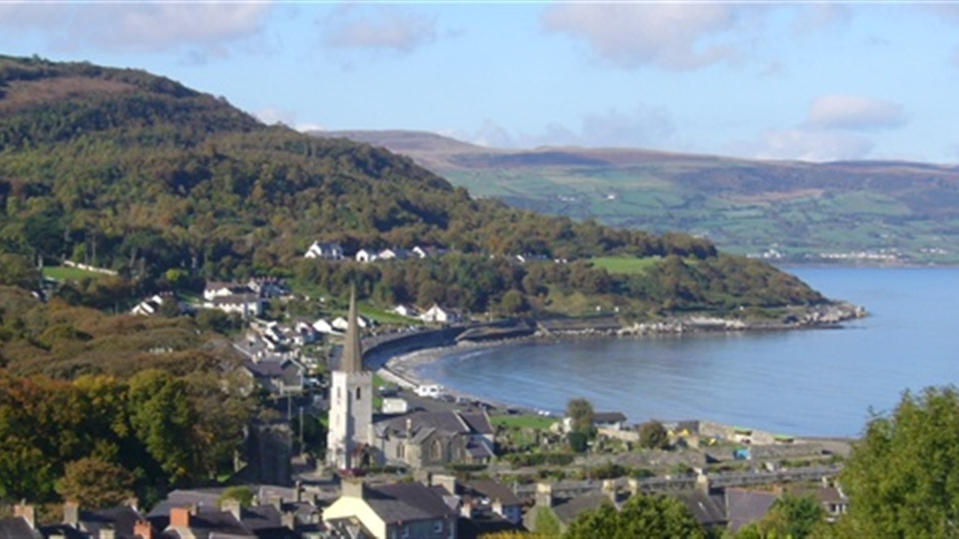
From the coast, the walk goes along selected streets of this village where buildings date back to the 1600's. The steep streets lead ultimately to the Layde Path. From here there are great views of the village and the bay, Carnlough Beach and the Irish Sea. Dogs should be on a lead or under the control of the owner.

Start Point:
D311154

Finish Point:
D311154

Route:
From the car park beside the shore, go over the bridge over the river, turn right at the junction and go through the village passing Steenson's Silversmiths on the left. Here, take the road on the left, The Vennel, with patterened stone path and proceed uphill. Just at the point where the houses end, the Layde Walk goes to the left going off the road. This stoney path is the highest point and there are seats to rest. Follow this path to the country road and proceed downhill to the main road. Turn left through a stoney path beside the road and on reaching the road cross over to come back to the bridge over the river and the car park.

Distance:
2 miles

Terrain:
On and off-road, steep

Point of interest:
The Barbican Gate of Glenarm Castle

Facilities:
Toilets are available in the car park. The village has shops and pubs.

Publication:
Larne Country Walks - Walk No 4.

Publication availability:
Available to download on this page.

Nearest town:
Glenarm

OS map:
Sheet 9

Accessible toilet facilities:
Yes

Accessible terrain:
Steep streets and surfaced path.

Book Tickets

Facilities

Provider Preferences

  • Free (parking charges may apply)

Add Layde Walk to your Itinerary

Map & Directions

What's Nearby

  1. Crowned "Historic Houses 2023 Garden of the Year", Glenarm Castle and its walled gardens…

    0.2 miles away
  2. Explore the hidden charm of Glenarm Forest, boasting impressive views of Glenarm Castle,…

    0.57 miles away
  3. Small and secluded Ulster Wildlife Trust Nature Reserve, located on an inland route…

    0.83 miles away
  4. Carnlough's sheltered historic harbour, with small fishing boats, is the focal point of…

    2.13 miles away
  5. Learn all about the development of Carnlough through the centuries, including its unique…

    2.14 miles away
  6. Garron Point is an outstanding headland on the Causeway Coastal Route offering…

    5.21 miles away
  7. This award winning beach is located in Ballygally, 10km north of Larne town on the…

    6.19 miles away
  8. Packed full of fun family activities and attractions, Carnfunnock Country Park offers…

    7.12 miles away
  9. Slemish Mountain is about 1,500 feet above sea level and is located close to Broughshane…

    8.27 miles away
  10. Explore Waterloo Bay in Larne, the most accessible locality for fossil hunting and…

    9.44 miles away
  11. Housed in the historic former Carnegie Free Library building, Larne Museum and Arts…

    9.66 miles away
  12. Town Park and Chaine Park are delightful parks located on the Causeway Coastal route in…

    9.7 miles away
  13. Enjoy a lovely walk along a one mile long stretch of Promenade running from Larne Leisure…

    9.9 miles away
  14. This special memorial tower stands tall on the western side of Larne Lough, at the…

    10.09 miles away
  15. The ruins of Olderfleet Castle stand on the Curran Point facing Larne Lough. It is…

    10.49 miles away
  16. Popular award winning rural beach positioned in a delightful sandy bay, at the northern…

    11.04 miles away

Virtual Tour

Map & Directions

Public Transport Directions

Translink - journeyplanner.translink.co.uk

View Maps and Visitor Guides
View what Mid & East Antrim has to offer and some of the best things to see and do during a visit.
E-newsletter sign up
Sign up for the Mid & East Antrim newsletter for inspiration and travel tips.
Back to Top

Tourism Northern Ireland

Don't Miss