Book Tickets Online
About
This is a 500m linear walk between two car parks, with no turnoffs or obstacles on the way.
Start Point:
D325154
Finish Point:
D329154
Route:
• The path is 1 mile south of Glenarm and 11 miles north of Larne town on the farthest eastern side of Co Antrim. It joins two small car parks each with information points, seats, picnic tables and waste bins.
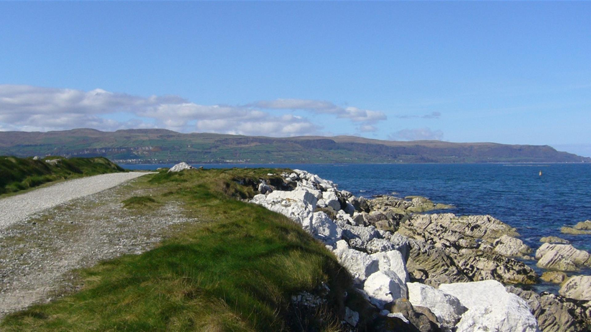
• The walkway, surfaced with fine white limestone chippings is 500 m long and is never steep or difficult. It runs parallel to the road and is sometimes hidden from the view of the road by a high grassy bank. At places there are seats along the way and there is a footworn track that leads down to the pebbly shore where the water is never far away even in low tide.
Distance:
0.3 (One Way) miles
Terrain:
Flat and stoney
Points of interest:
Limestone cliffs, views across the Irish Sea, Glenarm Castle
Facilities:
Glenarm village, 1 mile to the north, has some shops, pubs and a cafe.
Nearest town:
Glenarm
OS map:
Sheet 9
Accessible terrain:
Flat path surfaced with small stones.
Accessible signage:
An information panel is located in the south car park.
Book Tickets
Facilities
Provider Preferences
- Free (parking charges may apply)


